Neighborhood Profiles
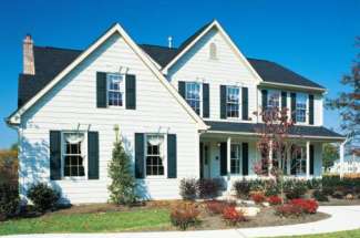
The Greater East Side is among the city's largest and most populous city districts — a grouping of largely middle-class areas, among them the Hillcrest, Hazel Park, Hayden Heights, Ames Lake, and ... Details
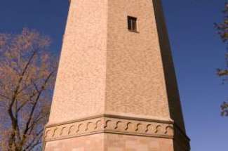
Highland Park is a neighborhood in the southwestern corner of Saint Paul, Minnesota. Also known as Highland District Council (District 15), it lies along the Mississippi river across from Fort ... Details
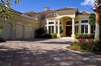
If you would like to narrow your search of St. Paul homes to a specific neighborhood try using our search by zip code feature. You can access this option through our Quick, Basic, or Advanced ... Details
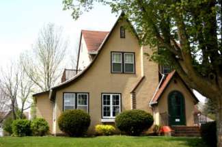
Macalester-Groveland is the neighborhood surrounding two post-secondary institutions, Macalester College and the University of Saint Thomas. The neighborhood's western border is formed by the ... Details
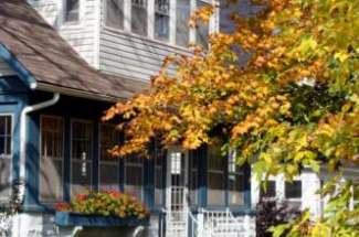
Midway is a neighborhood which derives its name from being midway between the downtowns of Minneapolis and Saint Paul. The Midway neighborhood includes the Twin Cities only passenger rail terminal ... Details
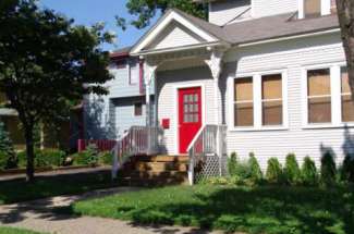
St. Anthony Park is a neighborhood in northwest Saint Paul, Minnesota. It is adjacent to the University of Minnesota's St. Paul Campus (in Falcon Heights), bordering Southeast Minneapolis on the west, ... Details
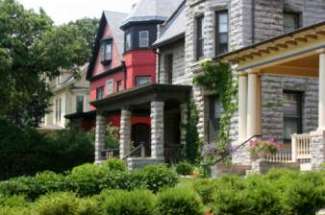
The Summit Hill neighborhood is roughly centered around the section of Summit Avenue between Dale Street and John Ireland Boulevard. "Crocus Hill" is the neighborhood adjacent to Summit Hill, and is ... Details
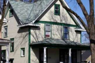
Summit-University is a neighborhood in Saint Paul, Minnesota that stretches roughly from University Avenue in the North, Lexington Parkway to the West, Summit Avenue to the South and to the East along ... Details
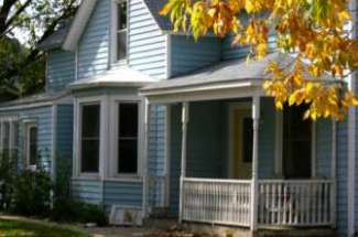
Built around University Avenue, Thomas-Dale is colloquially known as Frogtown. Historically, Frogtown was a section of the current Thomas-Dale neighborhood bordered by University Avenue on the south, ... Details
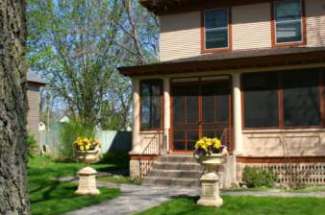
Union Park, created from the merger between former Merriam Park, Snelling Hamline, and Lexington-Hamline District Councils, is a residential neighborhood featuring a large stock of early 20th-century ... Details
West Seventh is a neighborhood in St. Paul, Minnesota. This area is colloquially known as the West End, and is not to be confused with the West Side, a different neighborhood. The West End lies at the ... Details
The "West Side" neighborhood is actually in the eastern half of the city, to the south and across the Mississippi River from Downtown Saint Paul. It is called the West Side because it is on the west ... Details
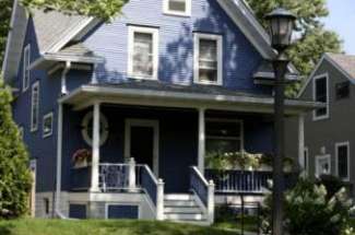
The North End is a blue-collar[ neighborhood built around the Rice Street corridor, a long, straight street that has many fast-food restaurants, bars and clubs. In the past, this neighborhood also ... Details
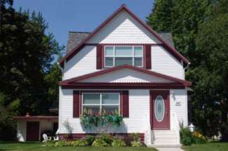
The Payne-Phalen city district includes the Railroad Island, Phalen Park, Rivoli Bluff, Vento, Wheelock Park, and Williams Hill neighborhoods, and ranges from a blue-collar area to the south to a ... Details
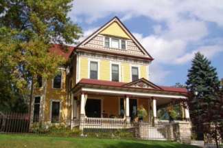
Stillwater is a city in Washington County, Minnesota, directly across the St. Croix River from the state of Wisconsin. The population was 18,225 at the 2010 census. It is the county seat of Washington ... Details
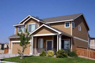
Vadnais Heights is a city in Ramsey County, Minnesota, United States. The population was 12,302 at the 2010 census. White Bear Lake Area Public Schools (ISD 624) serves the majority of the area of ... Details
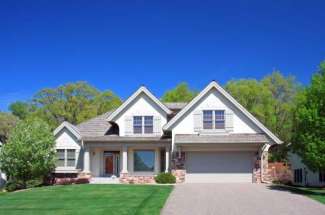
Wayzata is a city on Lake Minnetonka in Hennepin County, Minnesota, United States, a western suburb of Minneapolis. Wayzata came into existence in the center of Chief Shakopee's Indian village. The ... Details

White Bear Lake is a city in Ramsey and Washington counties in the U.S. state of Minnesota. The population was 23,797 at the 2010 census. The city is located on White Bear Lake, one of the largest ... Details
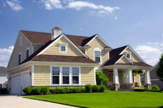
Woodbury is a city in Washington County, Minnesota, United States, and is a suburb of the Twin Cities metropolitan area. It is situated east of Saint Paul along Interstate 94. The population was ... Details

